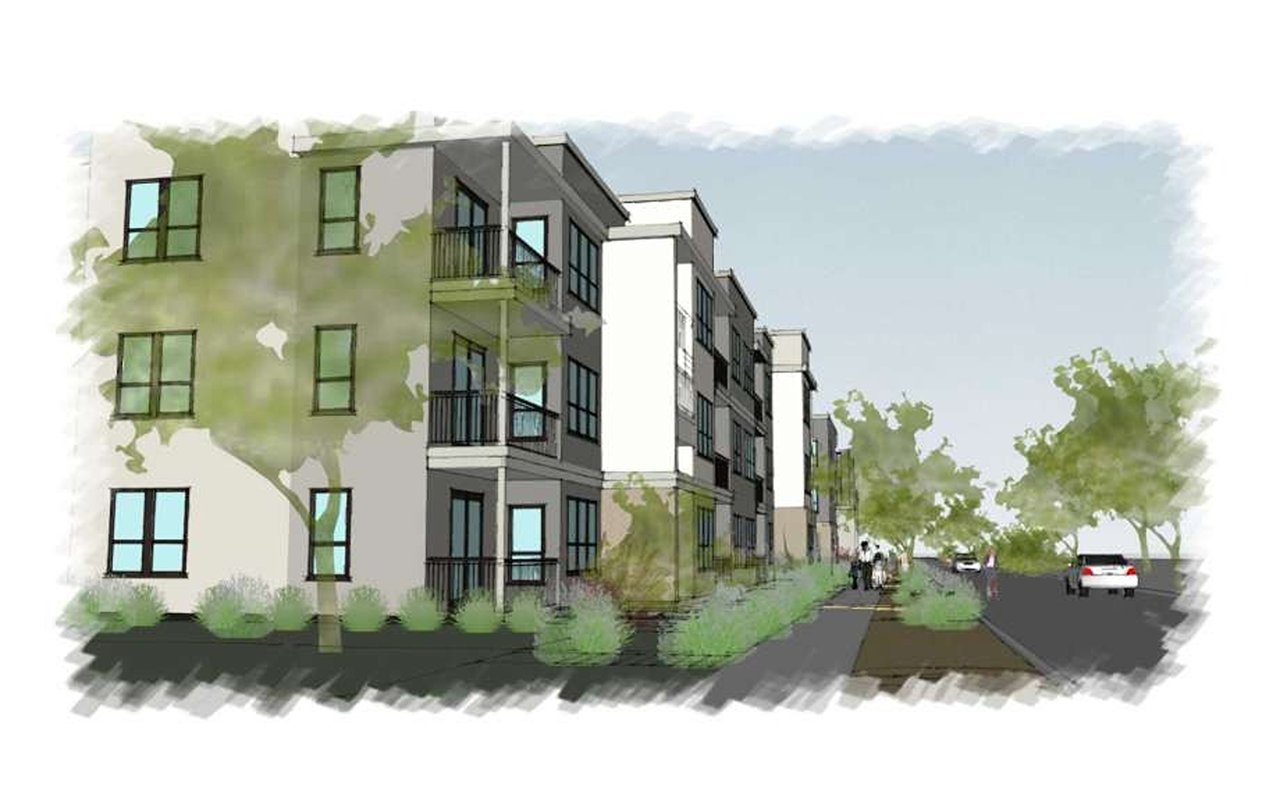
The state money behind Lake Havasu City's second bridge came with a narrow condition. The City accepted $35.5 million through an agreement with the State of Arizona for an emergency evacuation route, and the federal environmental assessment says the funding was accepted "for this stated purpose only." The design does more than that. The bridge will have two travel lanes, bike lanes, and a barrier-separated multi-use path. It will tie into the walkways along Bridgewater Channel and the paths on the Island. Most Island residents will rarely or never use it to evacuate. They will use it to walk, ride, and drive across the channel.
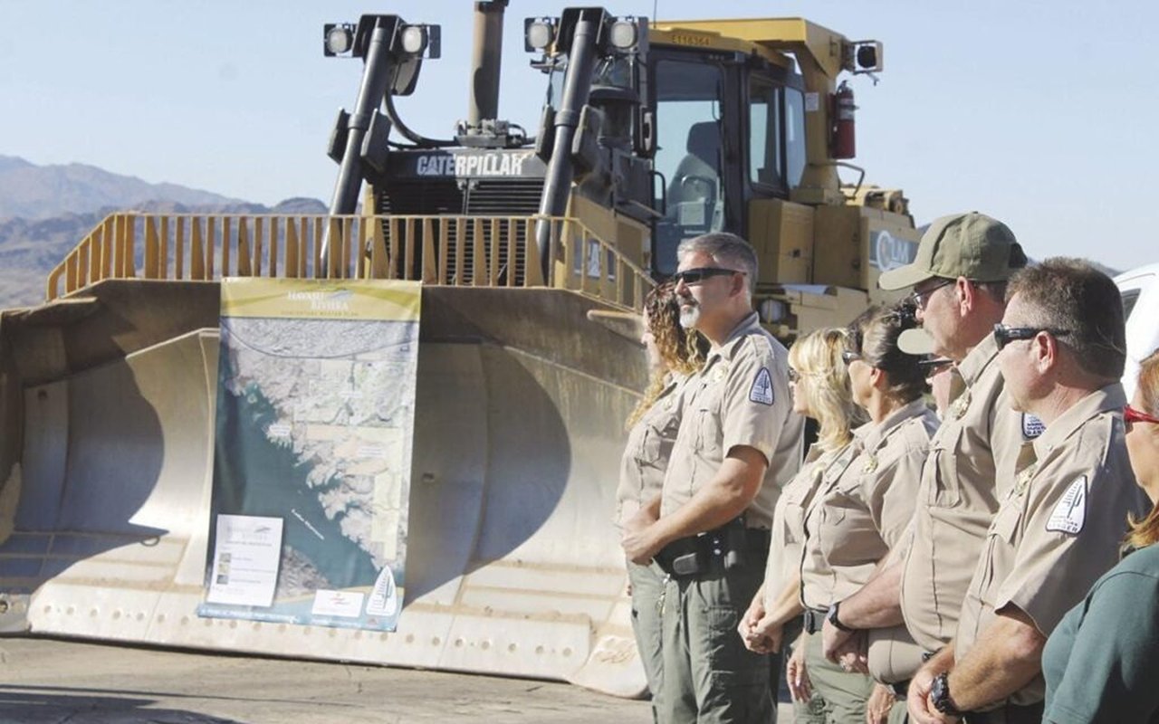
The City has named it the Freedom Bridge, and the connecting road will be Freedom Avenue. The public groundbreaking is Tuesday, October 13, 2026, at 8:30 a.m., at the future bridge site on the Island side. Here is what the documents behind the ceremony say about where the bridge goes, how it gets built, and what the next year and a half will look like from the Island.
Where the Freedom Bridge crosses
The bridge crosses Bridgewater Channel at Colorado River Mile 209.3, about 0.3 river miles upstream of the London Bridge. The north end lands in Lake Havasu State Park. The south end lands on State Trust land on the Island. The project covers about 1.7 miles of existing and new roadway. The construction contract says the new road will meet London Bridge Road and McCulloch Boulevard at stop-controlled intersections. Earlier concept drawings showed other connection points. The 95% plans dated July 10, 2026, are the ones being built, and the roundabout alternates in those plans are excluded from the contract price.
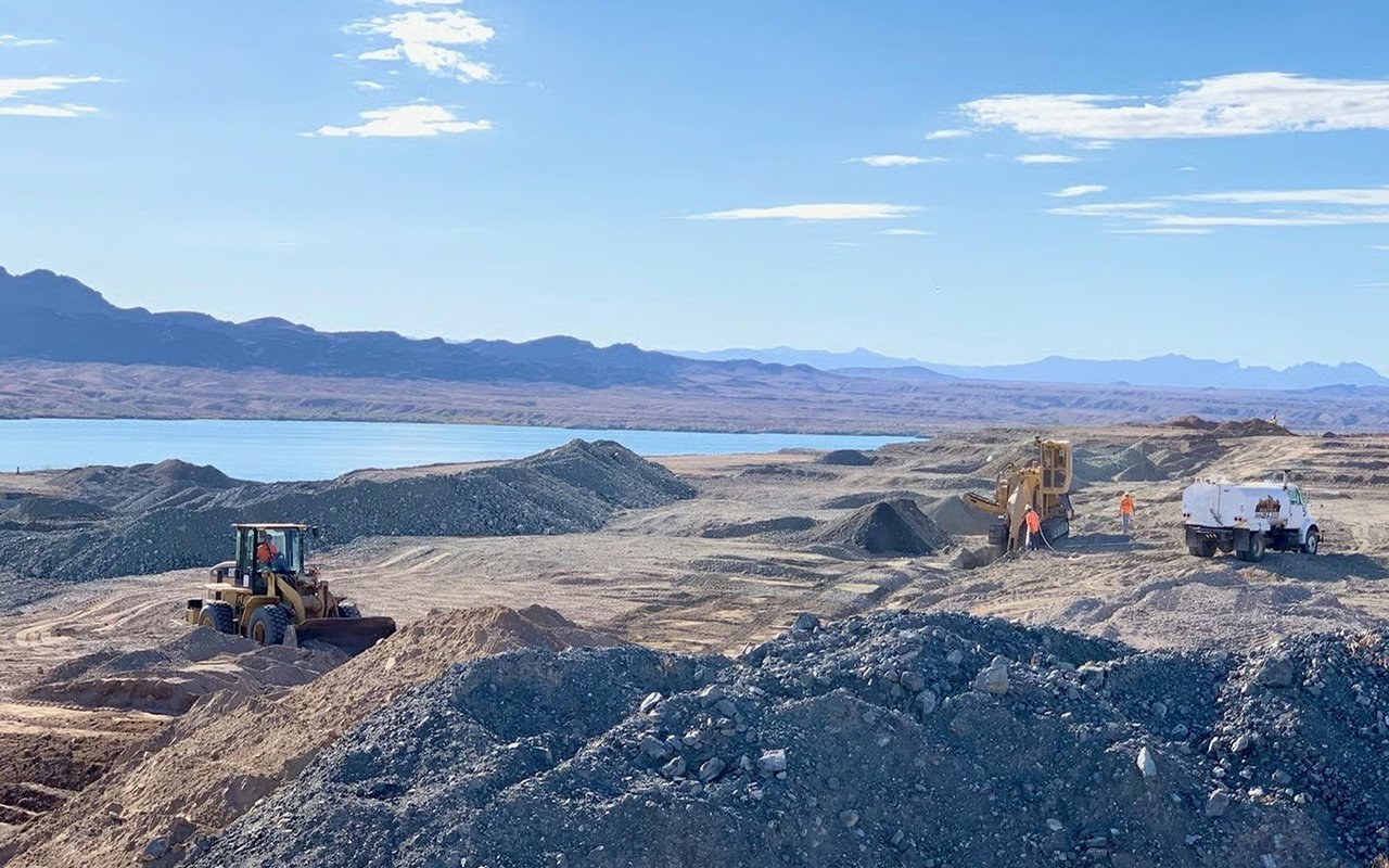
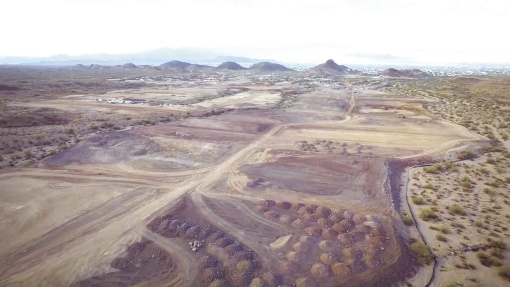
The Island approach land is not empty today. The federal assessment lists its current uses as wildlife habitat, a utility corridor, off-road vehicle use, boat beaching during the peak season from May through September, and walking for nearby residents. People who beach boats or walk along that stretch of the Island shoreline will see it become a work zone first and a road and path after that.
What the bridge is built to be
Here are the design numbers from the final environmental assessment:
| Feature | Freedom Bridge design |
|---|---|
| Structure | Three-span steel girder bridge |
| Main span | About 211 ft |
| Back spans | 108 ft on the north, 130 ft on the south |
| Piers in the channel | None; all piers and abutments sit above the ordinary high water mark |
| Vertical clearance | At least 35.69 ft, compared with 34.4 ft at the London Bridge |
| Deck | Two undivided travel lanes plus a multi-use path on the west side |
| Speed | 35 mph design speed, 30 mph posted |
| Lighting | Limited to safety and navigational lighting |
Three details in that table matter for daily life on the Island. First, the bridge spans the whole channel without putting piers in the water, so boat traffic below gets the full width. Second, the posted 30 mph limit keeps the new crossing slow and local. Third, lighting is limited to safety and navigation, so the new structure will be darker at night than the London Bridge area.
The multi-use path runs along the west, or upstream, side of the bridge. That puts walkers and cyclists on the side facing away from the London Bridge, looking up the channel toward the open lake. Pipes also go through the bridge. New reuse, raw, and potable water lines will run from London Bridge Road and Veterans Way and cross the channel inside it. That helps explain why the construction contract costs more than the state appropriation. The City Council approved a contract with Ames Construction on August 25, with a guaranteed maximum price of $39,921,502.30. City records say construction is paid for with the state money plus city water, wastewater, and drainage funds for those parts of the work.
The assessment also states a second purpose beyond evacuation: better traffic flow during peak seasons. It cites emergency response times, high crash rates at intersections, and traffic backing up onto State Route 95 as public safety problems caused by congestion at the London Bridge.
The next 548 days, hour by hour
The contract gives Ames Construction 548 days from Notice to Proceed to substantial completion, which it defines as the point when the project can open and be used for its intended purpose. The Notice to Proceed date is October 1, 2026. Counting 548 days from that date lands around April 1, 2028. That is a calculation from the contract terms, not an opening date the City has announced.
The contract sets work hours by season:
| Period | Typical work hours |
|---|---|
| October 16 to April 30 | 6:00 a.m. to 5:00 p.m. |
| May 1 to October 15 | 5:00 a.m. to 4:00 p.m. |
Crews will switch to the winter schedule on October 16, three days after the groundbreaking. Night work will happen case by case for key concrete pours and for setting bridge girders over the channel, coordinated with the City's project manager. The contractor and all subcontractors must follow the noise mitigation measures in an appendix to the federal environmental findings.
The contract lists several reasons roads will be restricted or closed:
- Underground utility work
- Building the new intersection at London Bridge Road
- Building the new intersection at McCulloch Boulevard North
- Deliveries of critical equipment and steel girders
Ames must submit a traffic control plan for every restriction and a detour route for every closure. Two variable message boards are budgeted for two months of final roadwork and tie-ins at London Bridge Road. No detour map or closure calendar has been published yet. Dates will come through City notices as each phase begins. The City's Zencity project page offers sign-up notifications, although its status line still shows the project in design.
The steel girders will arrive by truck. The contract says the structural steel is fabricated by Utah Pacific Bridge & Steel in Lindon, Utah. The fence along the state park boundary will be rebuilt with a mix of reused railing from the existing fence and new material.
The channel gets the hardest part
On land, the work happens at two intersections. On the water, it happens in the channel residents use most. The contract requires channel closures whenever construction puts the public at risk, including girder setting and bridge deck pours. Girder setting is also one of the jobs listed for possible night work. Some of the closures with the biggest effect may come after dark.
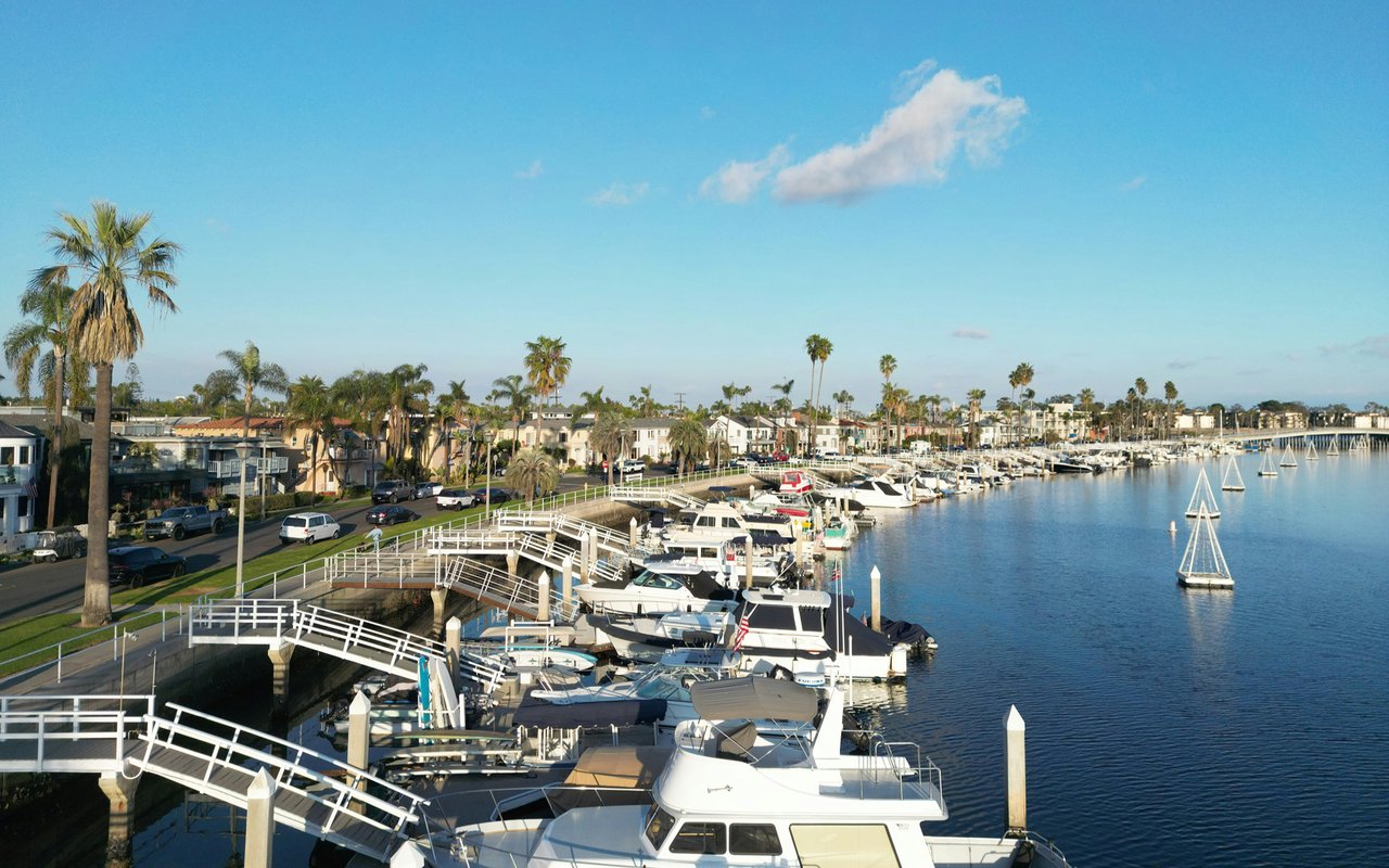
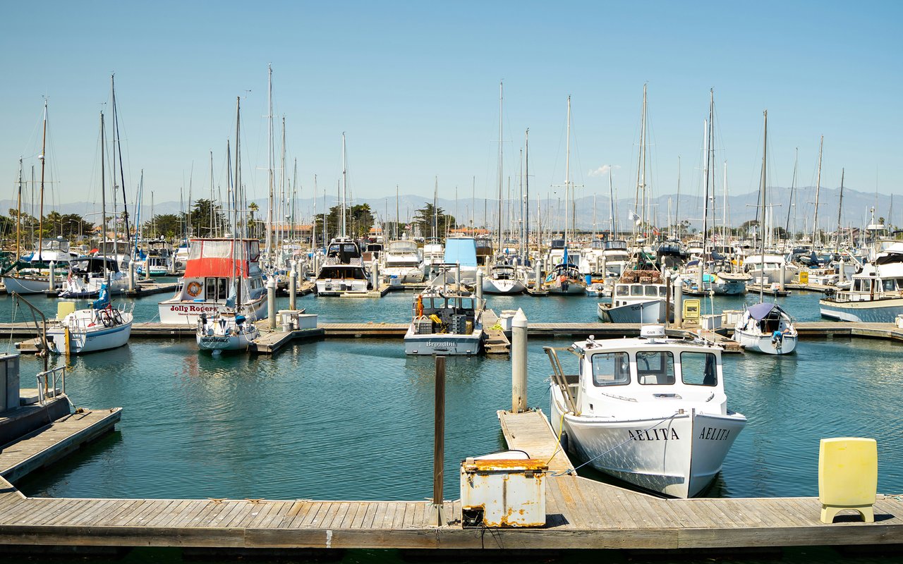
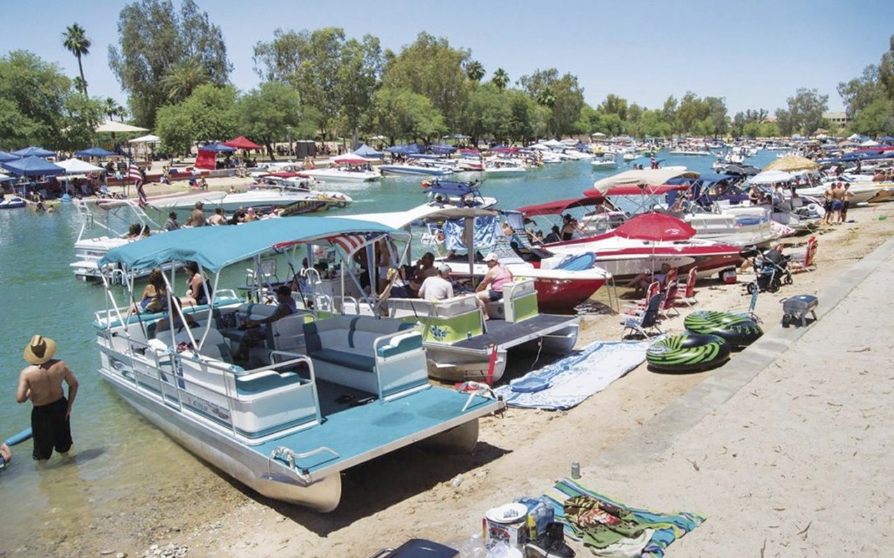
The channel is busy. The federal assessment lists powerboats, pontoons, fishing boats, sailboats, personal watercraft, and kayaks. It also names the Tecopa, a 65-foot passenger catamaran run by the Chemehuevi Indian Tribe. The Tecopa runs every half hour from 6:45 a.m. to midnight between its dock next to English Village and Havasu Landing on the California side. The assessment says boat traffic is heaviest from about mid-March through Labor Day, especially on holiday and event weekends. All of Bridgewater Channel remains a no-wake zone. With a contract window that runs to about spring 2028, construction will cover the full 2027 boating season. Closure timing is left to coordination between the contractor and the City's project manager, so specific dates are not set yet.
October gives a sense of what the channel looks like at its busiest. The IJSBA World Finals run October 3 through 11 at Red Rock Waterside on Beachcomber Boulevard, and the schedule includes a Saturday-night freestyle show under the London Bridge. The groundbreaking is the Tuesday after the races end.
Why the name, and why it took this long
The assessment traces the idea of a second bridge to the late 1980s, when the Citizens Island Bridge Company formed. In 1997 the City reached an agreement with Arizona State Parks to reserve a bridge and roadway route through Lake Havasu State Park. In 2007 it got a permanent right of way from the Arizona State Land Department on the Island side. The state funding agreement followed in 2024. As part of the 1997 deal, the City transferred 3.79 acres to the Bureau of Land Management for Lake Havasu State Park's use. That reserved route is the reason the bridge is being built where it is.
On September 22, the City Council adopted Resolution 26-3951, naming the bridge the Freedom Bridge and the road Freedom Avenue. The council communication says the name honors veterans and military service members. City records credit State Rep. Leo Biasiucci and former State Sen. Sonny Borrelli with championing the state appropriation.
In the City's announcement of the ceremony, Mayor Cal Sheehy said, "Our community has talked about a second bridge for decades, and to finally reach the point where we are breaking ground is something worth celebrating." City Manager Jess Knudson called it "an important second connection to the Island and an additional emergency access and evacuation route for our community." The ceremony runs from 8:30 to about 9:30 a.m. on October 13 at the Island-side site. The City's full notice is posted on its News Flash page. The design details are in the U.S. Coast Guard final environmental assessment.
New roads and a new crossing change how land on the Island can be reached and used. Questions like that come with every site we assess. If you own Island property near Freedom Avenue, or are thinking about a project that the new connection might affect, Desert Land Group can go over the approved plans with you and explain what they mean for your site. Get in Touch.